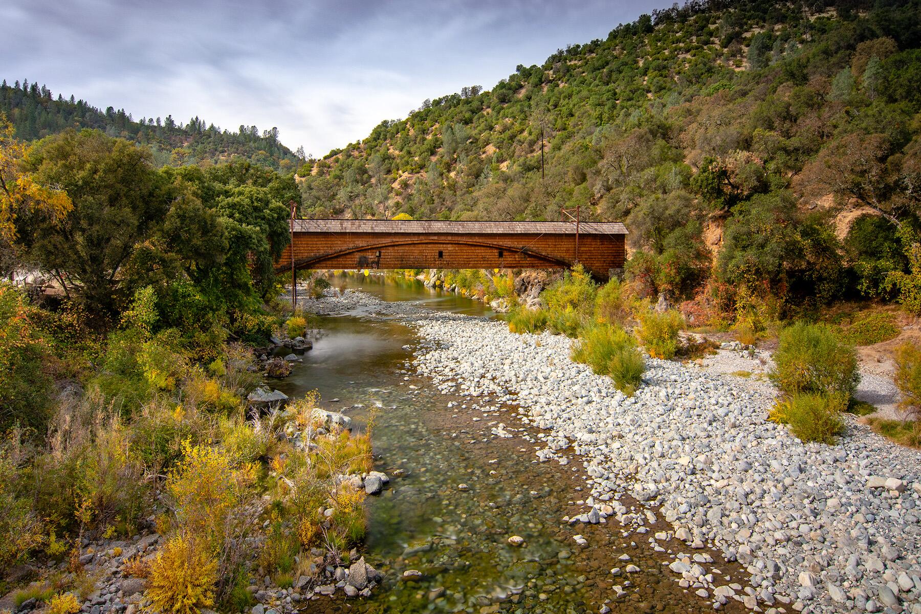
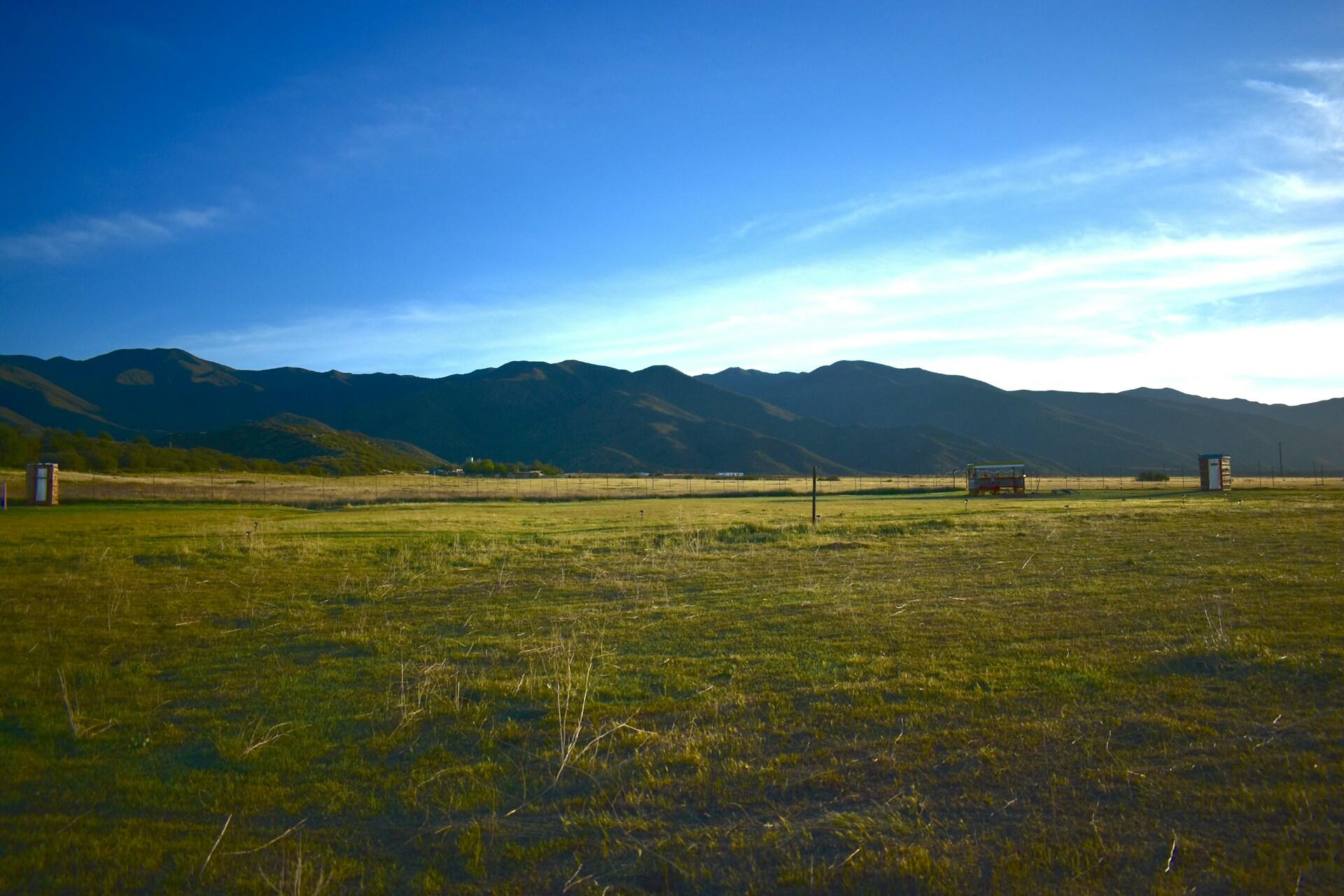
The Mojave Desert
The Mojave Desert
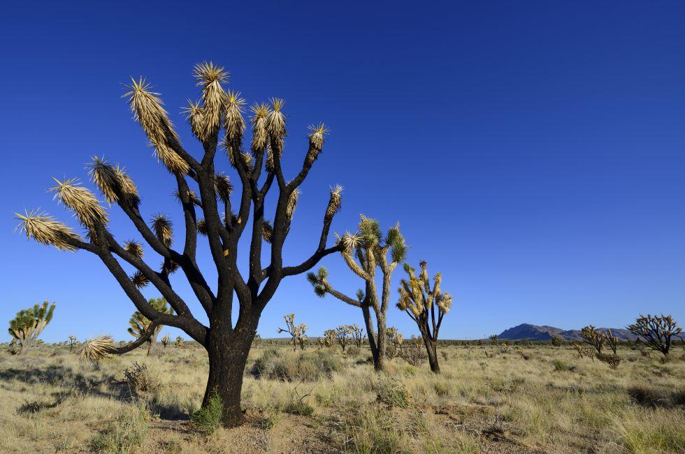
Dust and desolation, tumbleweeds and rattlesnakes, barren landscapes and failed dreams—these are the bleak images that come to mind when most people hear the word desert. Yet the remote regions east of the Sierra Nevada possess a singular beauty.
The vast spaces here are peppered with creosite bushes, spiky Joshua trees and cacti, undulating sand dunes, faulted mountains, and dramatic rock formations. The topography is extreme: the Mojave Desert, once part of an ancient inland sea, is one of the largest swaths of open land in Southern California, with elevations ranging from 3,000 to 5,000 feet, while Death Valley, to the north, drops to almost 300 feet below sea level and contains the lowest (and hottest) spot in North America.
Access to the Mojave is via I–40 and I...
Read MoreDust and desolation, tumbleweeds and rattlesnakes, barren landscapes and failed dreams—these are the bleak images that come to mind when most people hear the word desert. Yet the remote regions east of the Sierra Nevada possess a singular beauty.
The vast spaces here are peppered with creosite bushes, spiky Joshua trees and cacti, undulating sand dunes, faulted mountains, and dramatic rock formations. The topography is extreme: the Mojave Desert, once part of an ancient inland sea, is one of the largest swaths of open land in Southern California, with elevations ranging from 3,000 to 5,000 feet, while Death Valley, to the north, drops to almost 300 feet below sea level and contains the lowest (and hottest) spot in North America.
Access to the Mojave is via I–40 and I–15, Highways 14 and 95, and U.S. 395. As abandoned homesteads can attest, the area is not heavily populated, with just a few communities separated by expanses in which visitors can both lose and find themselves.